Mission process
All our missions follow the process below:
Step 1 – You explain your project to us
We need to know the location, the delivery date and the type of view or survey required (from a simple photo to 3D modelling). This information will help us plan the operation and select the most suitable drones and software for your needs.
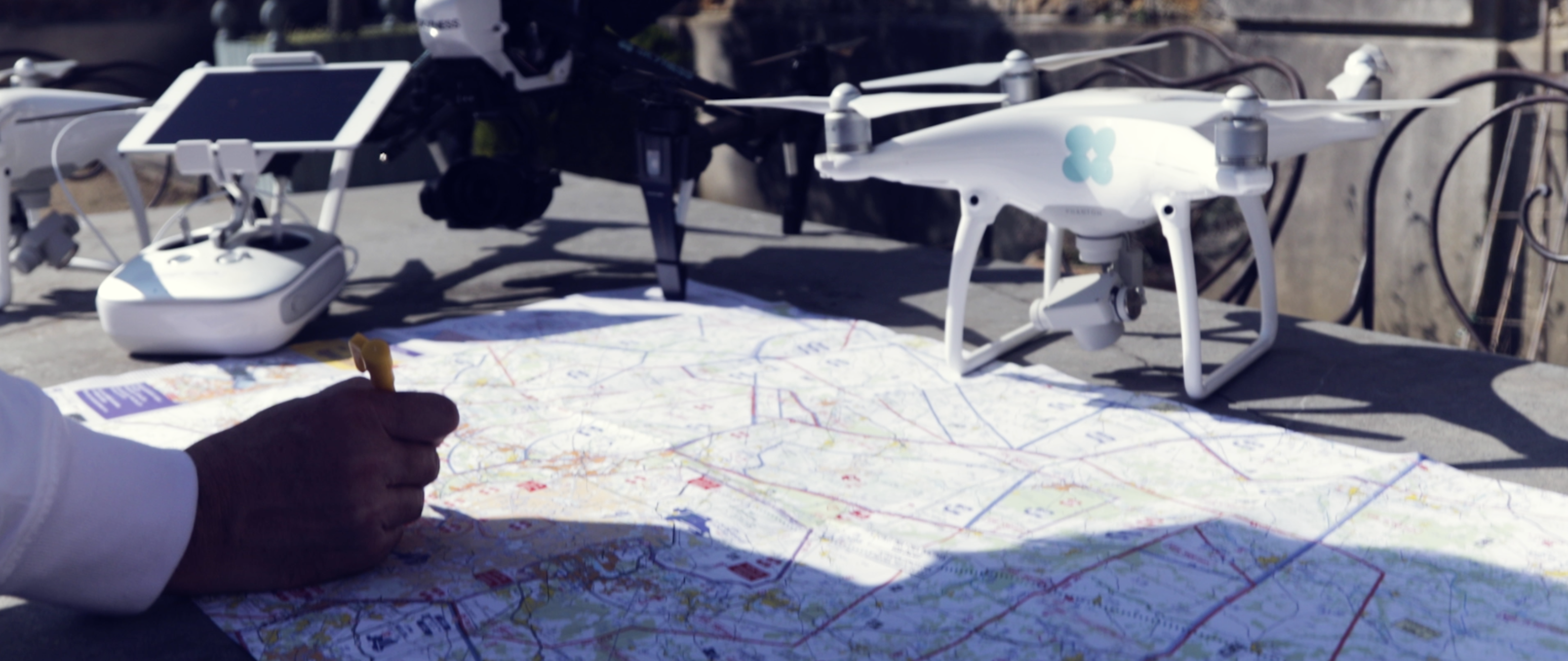
Step 2 – We prepare the flight plans
Depending on the project, we decide on the scale of the human and technical resources required (number of pilots, number and type of drones) and prepare appropriate flight plans based on the area to cover.
Flights in populated or urban areas (scenario S3) have to obey strict rules and need prior approval from the prefecture in advance. If the flight is in a regulated area, additional formalities are required involving the DGAC (the French civil aviation authority) or the organisation responsible for the area. Whatever the scenario, we take charge of obtaining all the necessary authorisations.
Step 3 – We fly
This step begins with a preparatory visit to examine the take-off/landing area and adjust the initial scenario to capture the most relevant information. You tell the pilot about any new points of interest; our pilot looks at the local weather forecast and identifies any constraints specific to the site to adapt the flight plan. Before every take-off, the pilot runs through a check-list of the equipment’s safety aspects; all procedures are described in a specific activity manual (mandatory document). In the sky, there is no room for improvisation. The drone flight then begins, with the pilot controlling the drone and making sure the information is captured correctly. Just after the flight ends, we share the first information collected with you to check its quality and potential for exploitation.
Step 4 – We process the data
This step begins the day after the flights. The work depends on the service being provided.
For a service to promote urban development, we retouch photos using the Lightroom software and carry out video editing using Final Cut Pro. For a surveying project using photogrammetry, we merge the flights together and reposition the targets on the ground using the Pix4D Mapper Pro software before starting processing in the Pix4D cloud to generate point clouds, orthophotos and assembled 3D models. Our high-speed fibre link keeps processing times low.
Step 5 – We deliver the data
We use WeTransfer, Google Drive or other means to provide the deliverables in a confidential electronic report in a usable format defined in advance with you (high-definition images or video, Pix4D output, PDF, CAD, AutoCAD, ArcGIS, SketchUP, ReCap etc.).
-
You explain your project to us
Mission type – Locations – Maps – Schedule
-
We prepare the flight plans
- Location scouting (topography, road access, GSM antennas etc.)
- Preparing flight plans
- Requesting authorisation from the prefecture
-
We fly
- Checking our equipment and the weather forecast
- Preparing and securing the take-off and landing areas
- Data capture by our Skyness pilots
- Checking the data quality and backing up
-
We process the data
- Retouching photos in Lightroom
- Video derushing and editing in Final Cut Pro
- Merging flights and inserting targets into Pix4D Mapper Pro
- Processing flights in Pix4D Cloud -
We deliver the data
JPEG
MP4
LAS
TIF
FBX
BJ
…
-
Appelez-nous au 01 41 10 91 22
-


