Mapping 2D orthogonal building plans
Mapping 2D orthogonal building plans
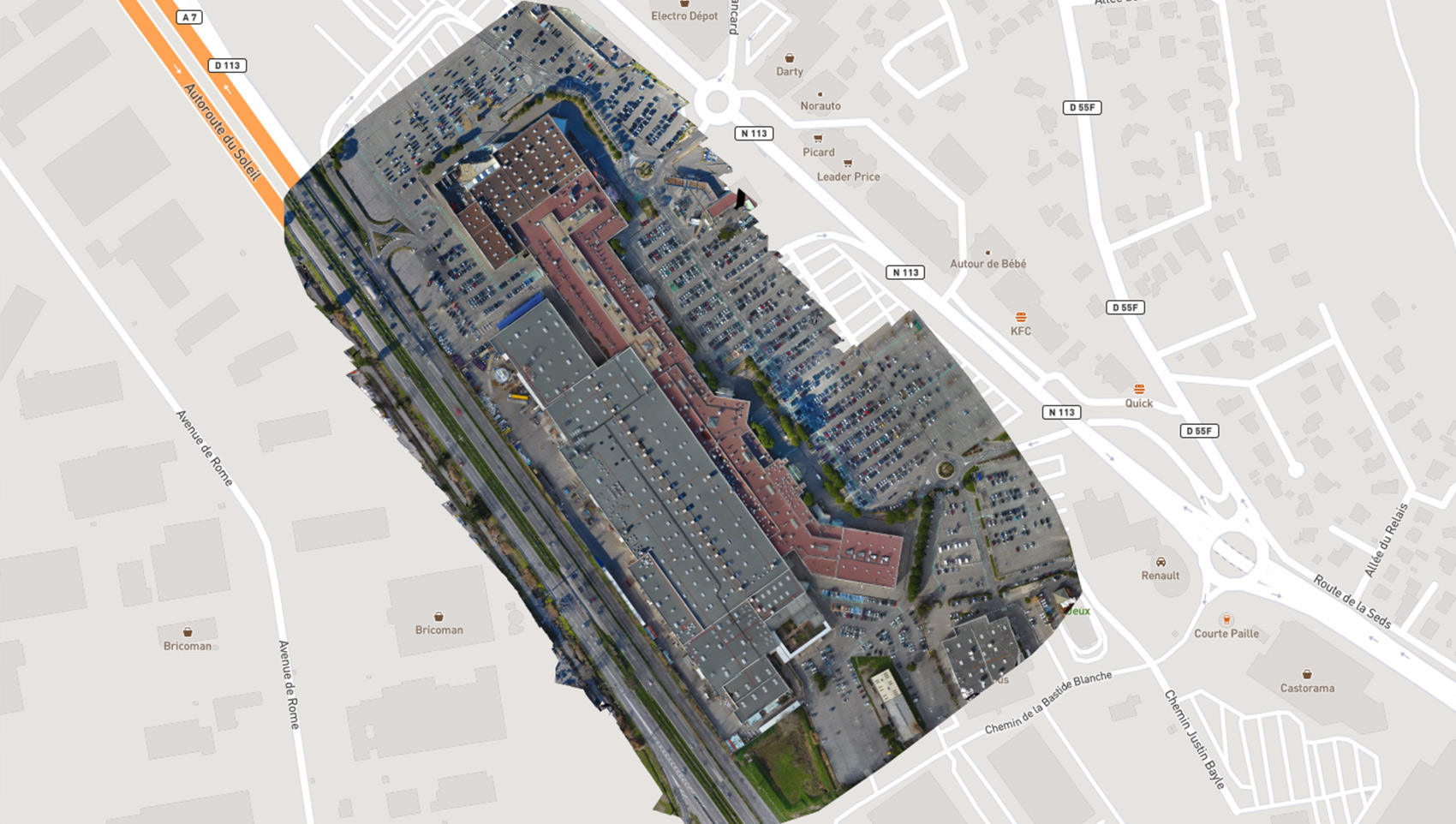
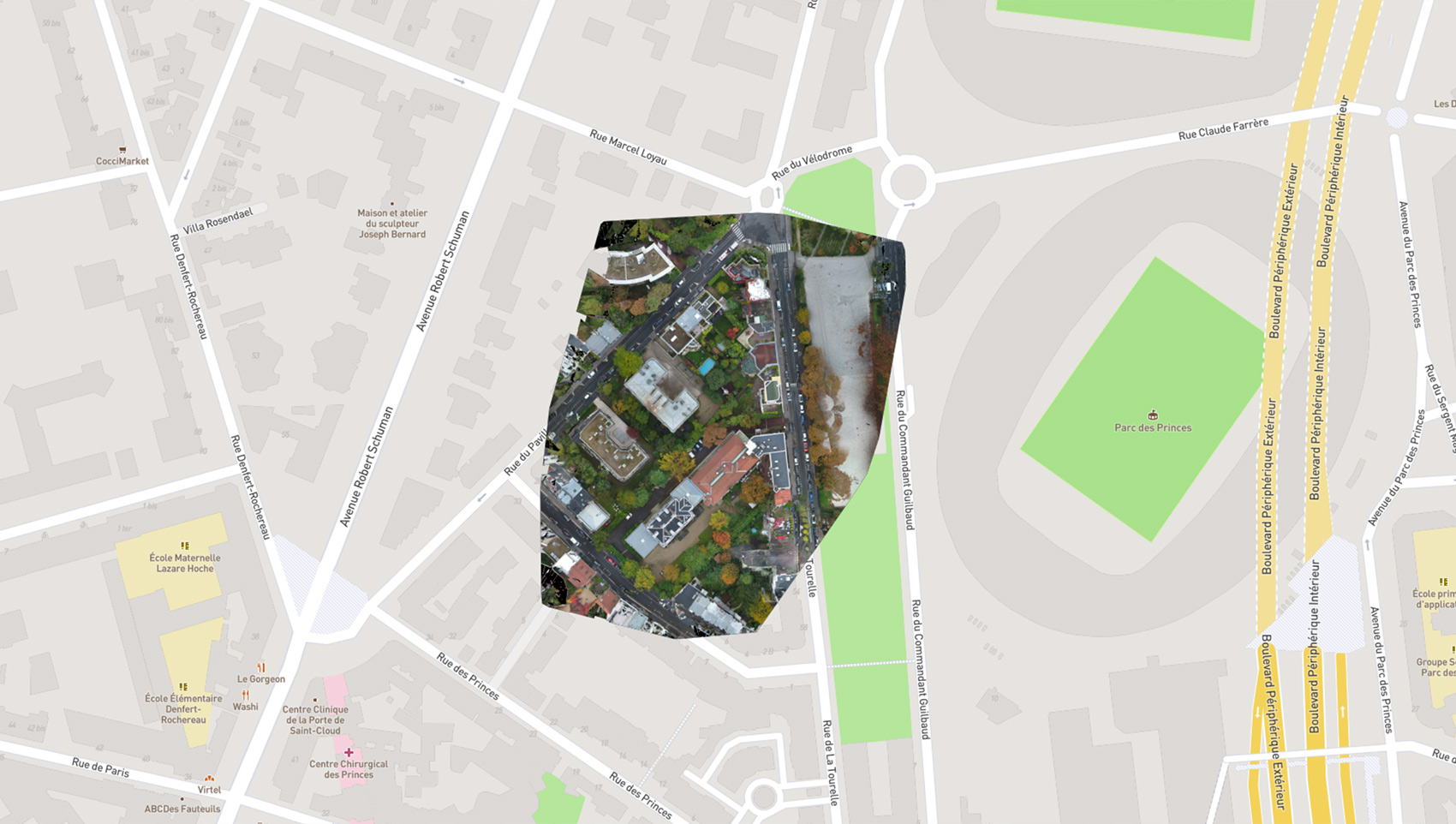
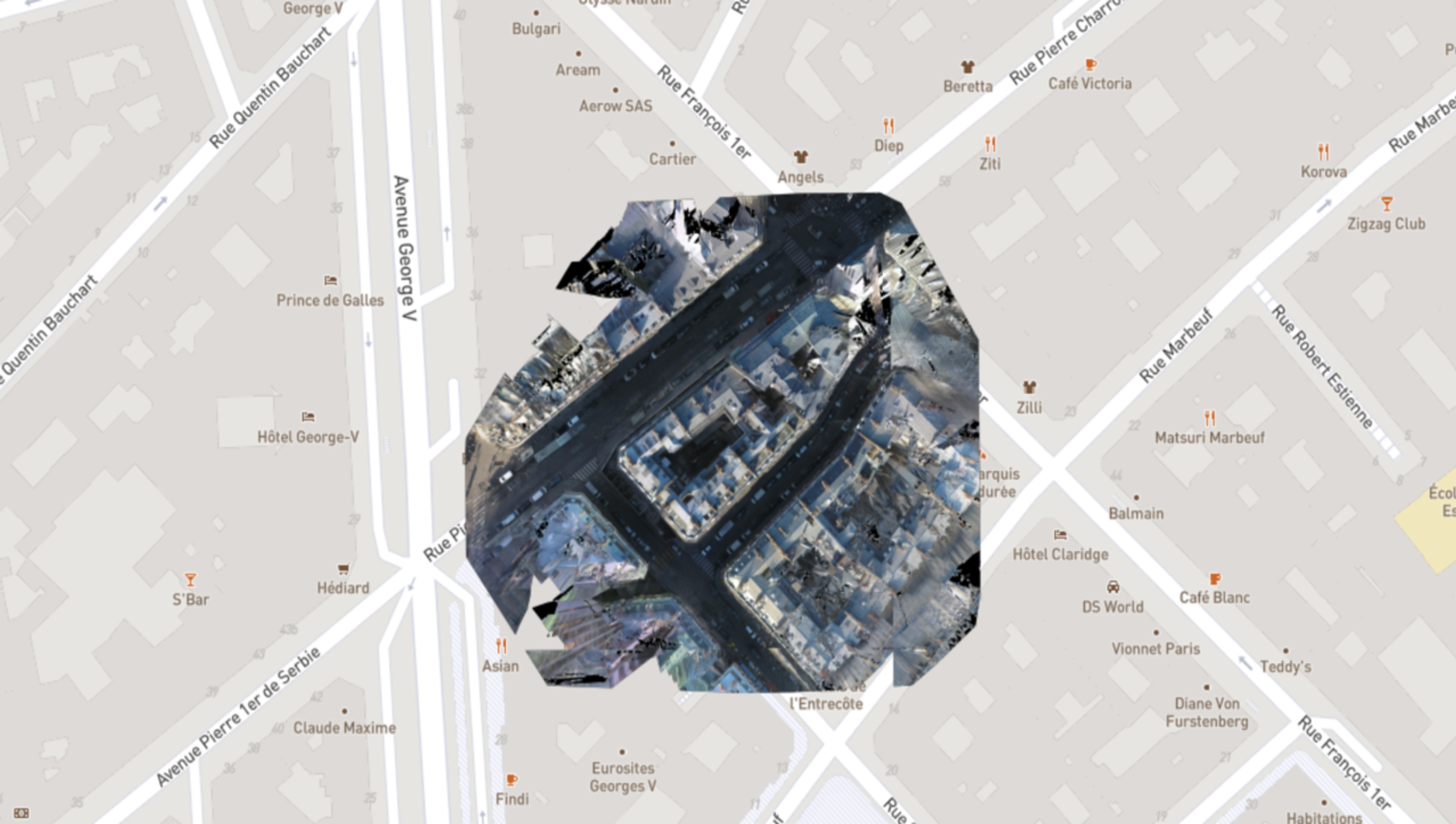
Digital post-processing of the drones’ shots provides HD photographs with no perspective effect. We can then scale the images and superimpose them on a plan. Just like Google Earth, except that our plans are much more precise.
Our orthogonal plans can be viewed with Rhino, MeshLab, Sketchfab and AutoCAD and can be integrated directly into your IT system. A valuable benefit for your land development, architecture and urban planning projects.
-

Appelez-nous au 01 41 10 91 22
-
