Surveying existing buildings
Discover your building from a different angle
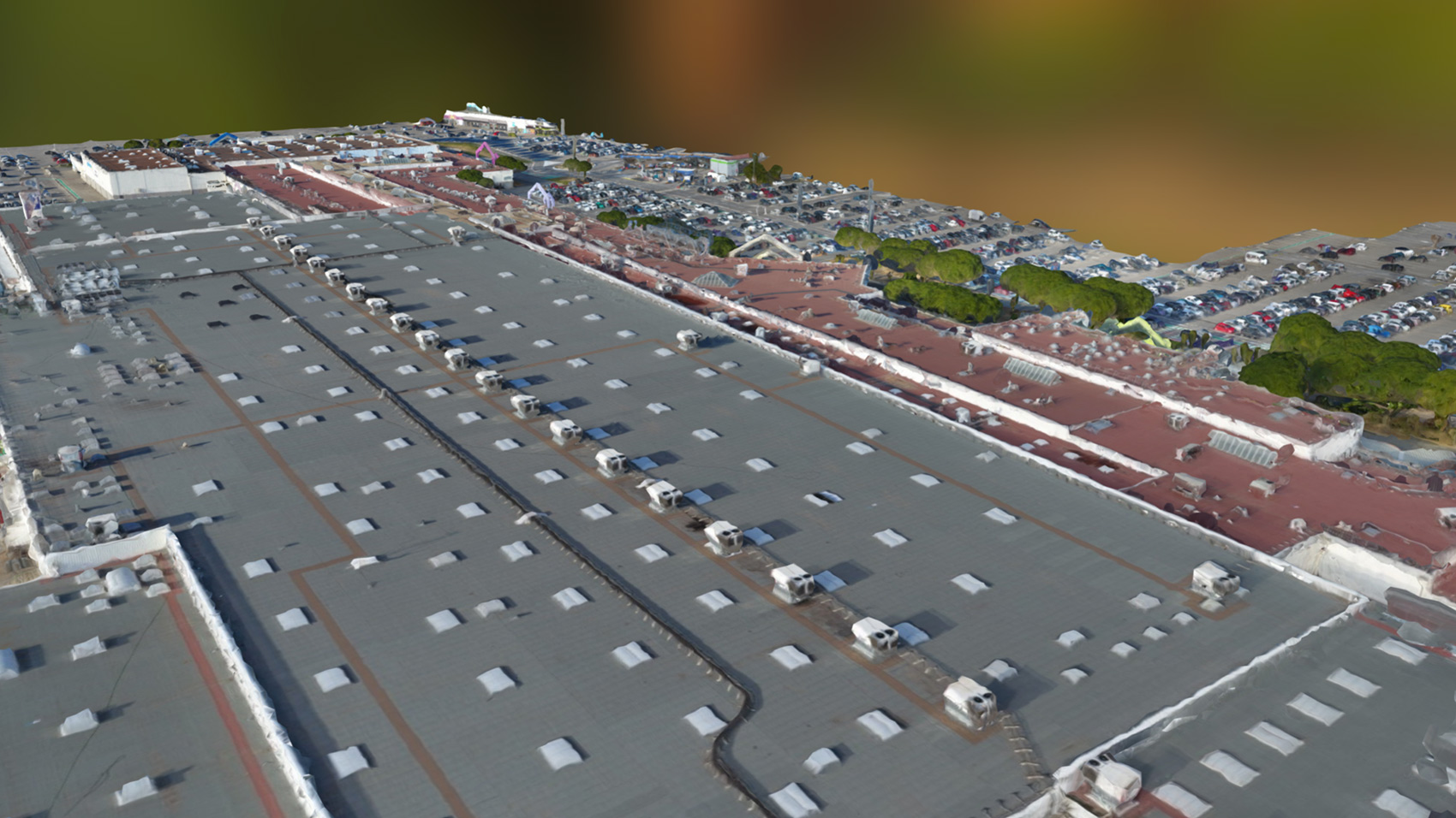
Toiture 3D centre commercial
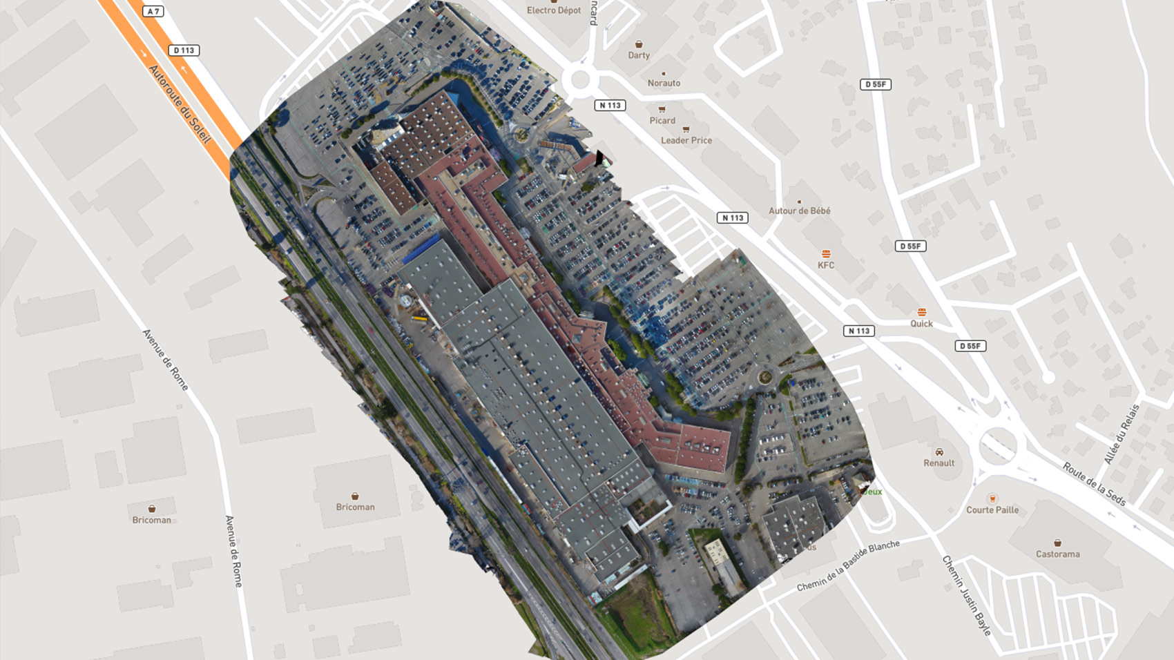
Plan Ortho
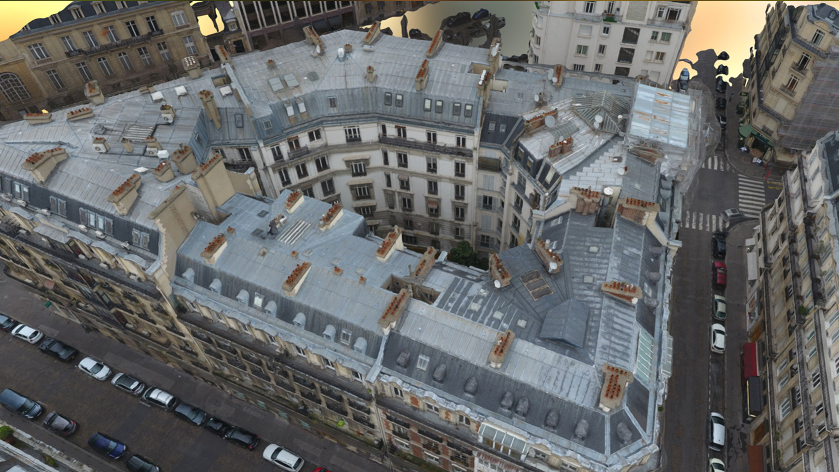
Toiture 3D
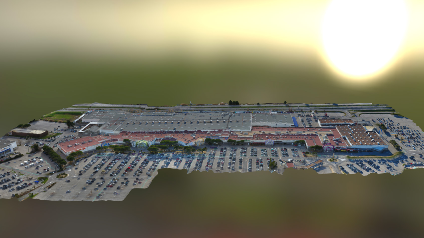
Plan 3D centre commercial
Surveyors, property managers, insurers, contractors and project clients – our drones offer effective solutions that can be used immediately. The data collected enable you to produce volume measurements, digital elevation models or topographic plans. Thus you can take survey readings, carry out building or works inspections and evaluate your building stock.
Precision
Data acquisition uses a photogrammetric process. We produce complete aerial coverage of a site with high-resolution images. Our 3D models, precise to 5 cm, and high-definition photos can be shared with everyone involved in your project.
Flexibility
Our missions are flexible and quick to set up. The drones themselves have no impact on the organisation of the site: staff and machinery can continue to work during the data acquisition. This makes it possible to carry out regular surveys.
Safety
The drones can reach areas that are inaccessible to humans without risk. Our surveys contribute to your site safety policy.

Applications
-
Surveying existing buildings
-
Thermal imaging
-
Promotion of urban development
-
Structural inspection
-
Site monitoring
-

Appelez-nous au 01 41 10 91 22
-
