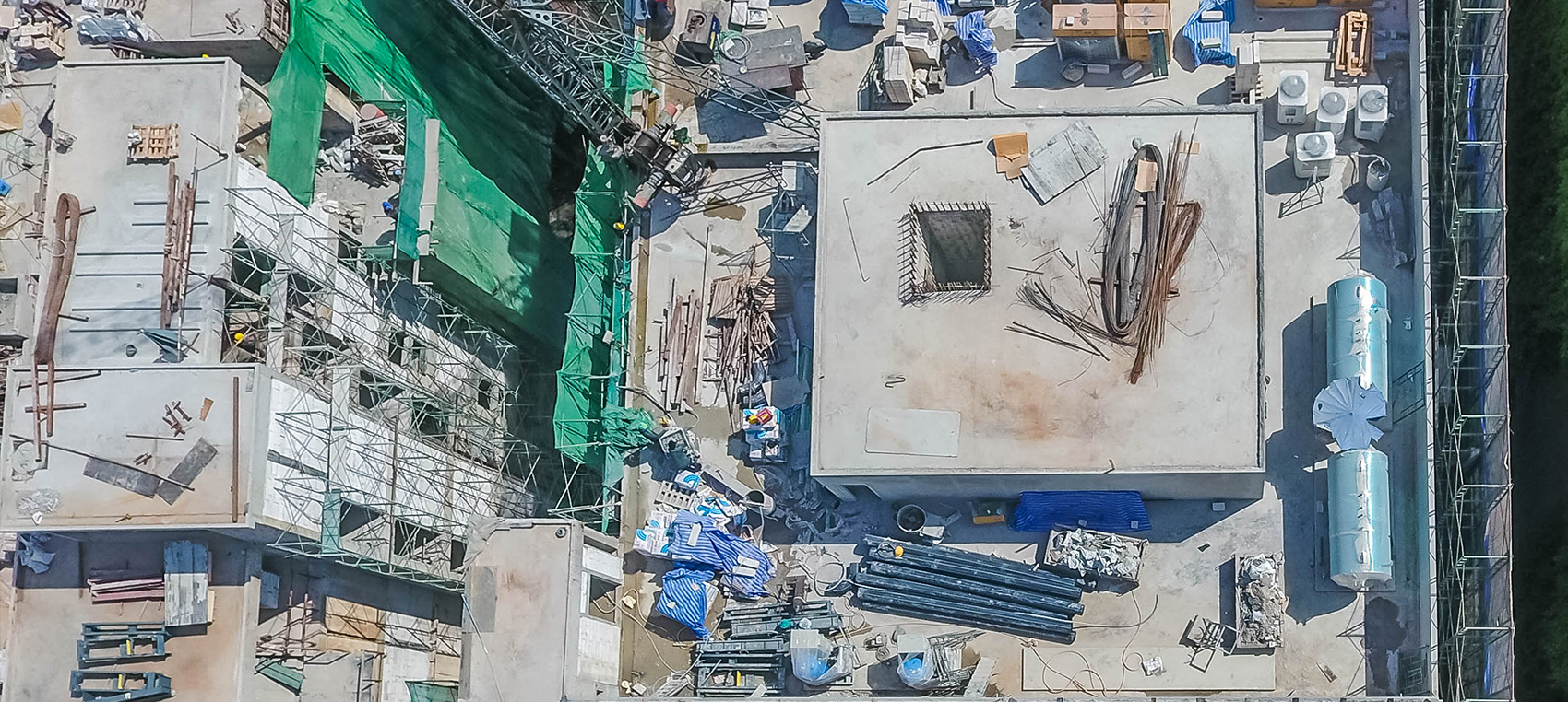
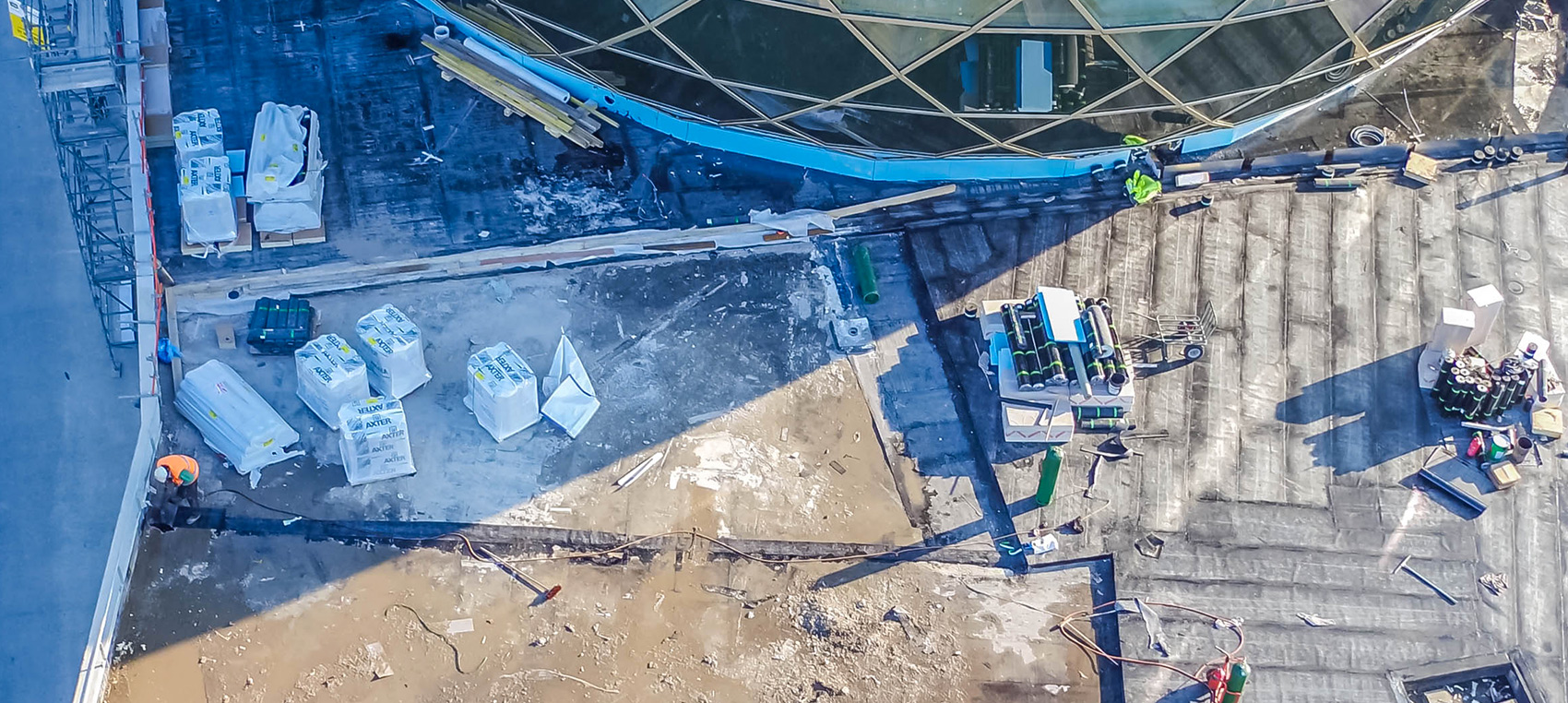
Site monitoring
Evaluate the progress of your construction work regularly using our images
Suivi de Chantier la Défense from SKYNESS on Vimeo.
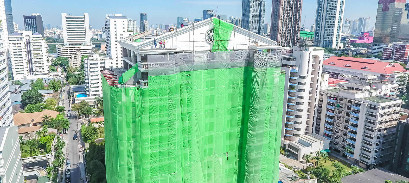
If you are a contractor responsible for organisation, supervision and coordination, a project client or a property developer, drones are the perfect tool for preparing and monitoring your project.
Architects also frequently use our drones in the early stages of projects, basing site surveys on 3D models captured by photogrammetry, and at the end, taking photos and videos of the finished building.
Precision
Our drones’ GPS receivers make it possible to take photos from the same viewpoint. Quick to deploy, precise with their perfectly stabilised HD cameras, our drones patrol the terrain and capture data at regular intervals.
Sharing
This means you can document the key stages (structural works, envelope, second fix, finishing) and share the status of your project with all the stakeholders at regular intervals. Everyone moves forward in a coordinated way with the same vision. As our technical director, Martin Kretz, says: “Drones help everyone agree. “

Applications
-
Surveying existing buildings
-
Thermal imaging
-
Promotion of urban development
-
Structural inspection
-
Site monitoring
-

Appelez-nous au 01 41 10 91 22
-
